Polana/ brzeski/ opolskie
Ogłoszenie dodane: 22.08.2026
DJI Terra Mapping Software
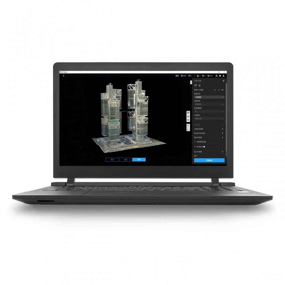
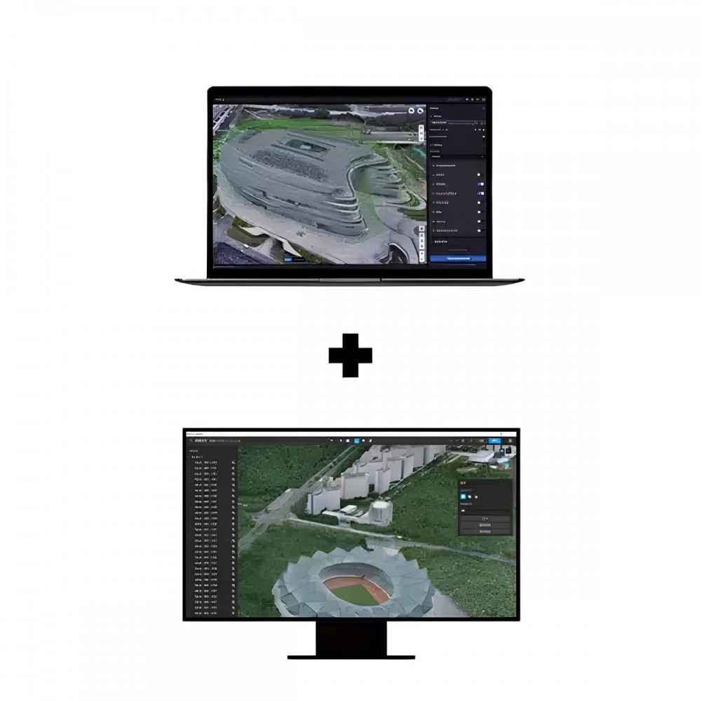
Make the World Your Digital Asset. DJI Terra is an advanced 3D modeling software featuring next-generation reconstruction technologies, including 3D Gaussian Splatting. By integrating seamlessly with DJI drones and LiDAR sensors, Terra provides a unified hardware and software solution to streamline your aerial surveying workflows.
Core Features
Gaussian Splatting: Quickly generate highly realistic 3D models from photos, accurately restoring architectural projects, urban blocks, and scenic environments.
Advanced Photogrammetry: Rapidly produce high-precision 3D models, point clouds, true digital orthophoto maps (TDOM), and digital surface models (DSM).
LiDAR Reconstruction: Deep integration of LiDAR and RGB data. Generate high-precision point clouds, 2D maps, and 3D mesh models simultaneously from a single acquisition.
Multispectral Reconstruction: Create vegetation index maps (NDVI/NDRE) for actionable insights into plant health. Supports radiometric correction and reflectance map creation.
Technical Requirements
Operating System Microsoft Windows 10 or later (64-bit)
CPU Intel Core i5 or later
GPU NVIDIA graphics card (compute capability 6.1+)
VRAM / RAM 4GB+ VRAM / 32GB+ RAM
Storage 200GB+ SSD Recommended